Log in
All resources
Create a design
38,207 Free Images of 1860 Maps
david rumsey historical map collection
files from polona
patrimonium 2 (project)
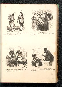
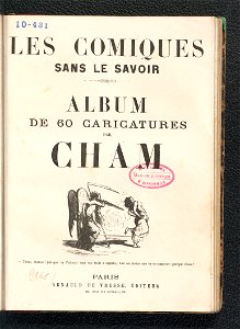
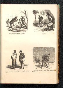
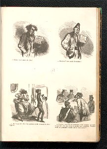
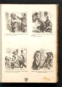
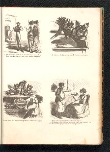
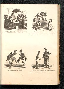
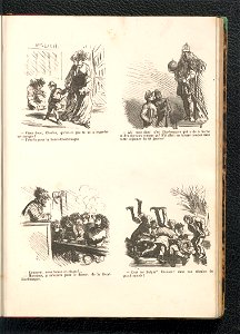
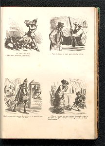
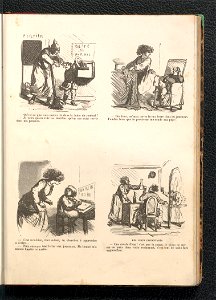
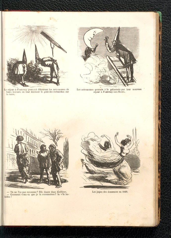
les comiques sans le savoir - album des 60 caricatures (1860)
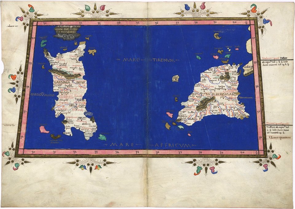
latin-language maps
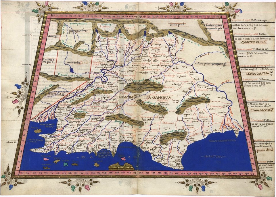
cosmographia claudii ptolomaei alexandrini
1467 maps
german-language maps
christian gottfried daniel stein
1860 paintings
1860s landscape paintings
1860 paintings
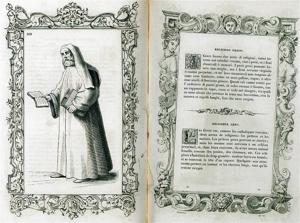
costumes anciens et modernes (1859-1860)
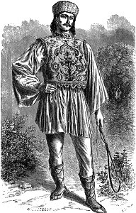
eastern orthodox priests
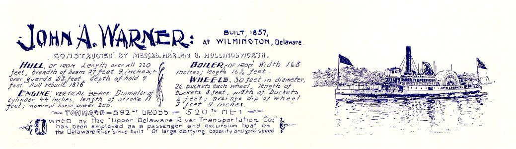
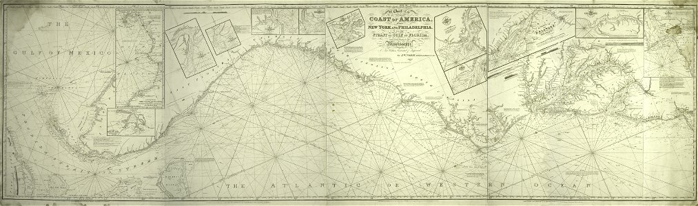
steamboats of the delaware river
1857
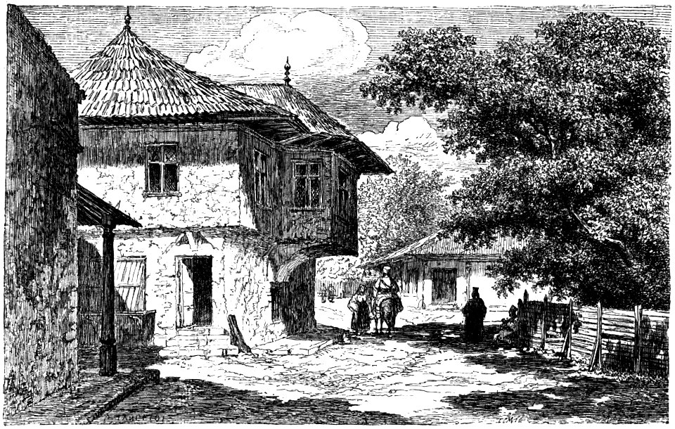
dieudonné lancelot
bucharest in art
paintings by john frederick kensett
1860 paintings
belgian paintings in the royal museums of fine arts of belgium
1860 paintings
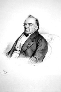
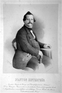
lithographs by josef kriehuber
men of austria
printing
1860
reisenotizen über die mittelalterlichen kunstwerke in italien (1860)
wilhelm lübke
santa croce (florence) in art
wilhelm lübke
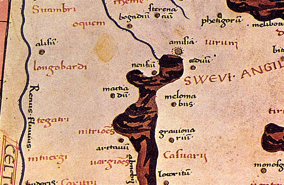
details of old maps
old map
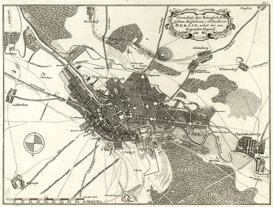
18th-century maps of berlin
moll's map collection
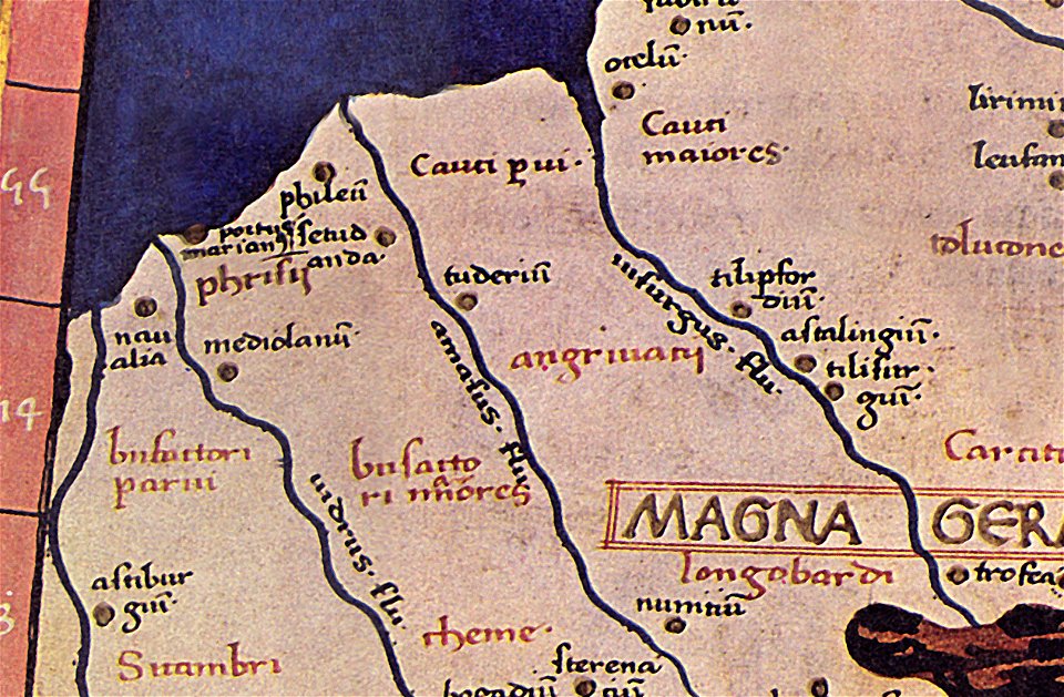
details of old maps
old map
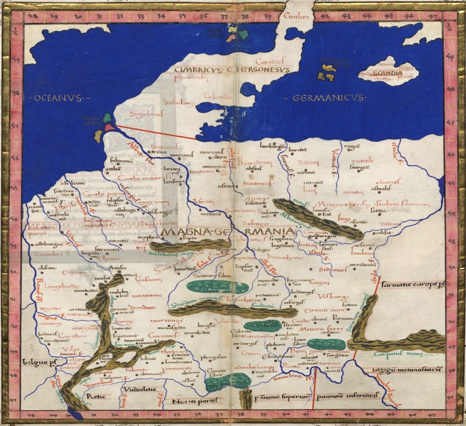
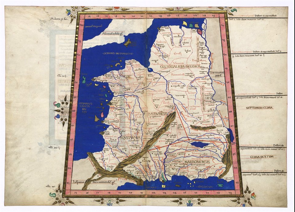
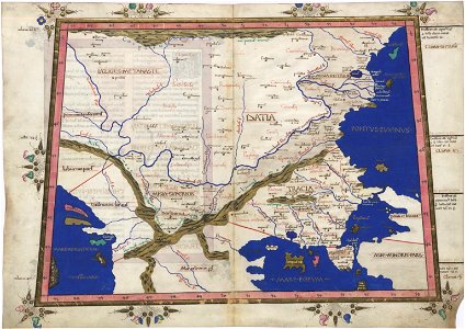
ptolemy's 4th european map
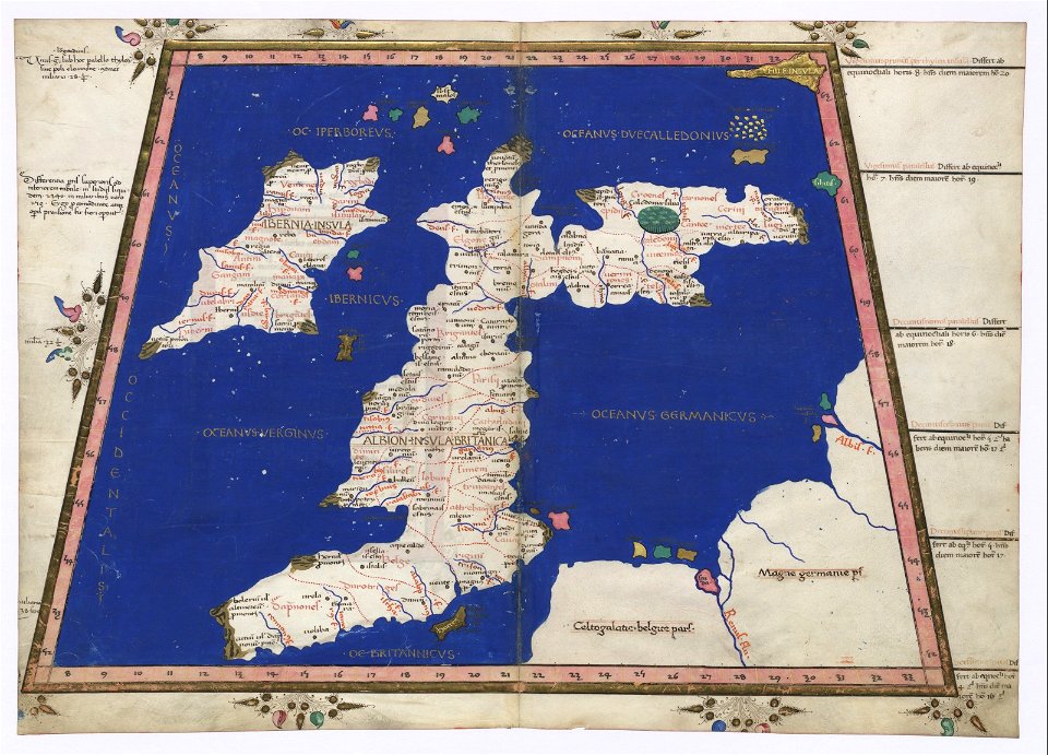
latin-language maps
cosmographia claudii ptolomaei alexandrini
latin-language maps
cosmographia claudii ptolomaei alexandrini
latin-language maps
cosmographia claudii ptolomaei alexandrini
latin-language maps
cosmographia claudii ptolomaei alexandrini
latin-language maps
cosmographia claudii ptolomaei alexandrini
latin-language maps
cosmographia claudii ptolomaei alexandrini
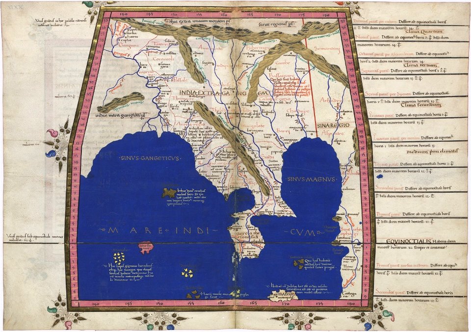
latin-language maps
cosmographia claudii ptolomaei alexandrini
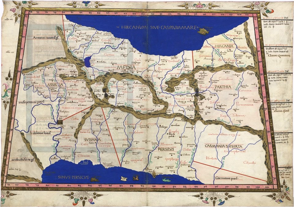
latin-language maps
cosmographia claudii ptolomaei alexandrini
latin-language maps
ptolemy's 4th african map
latin-language maps
provided by landsbókasafn íslands
1561 maps
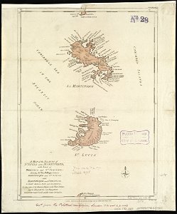
18th-century maps of martinique
john lodge (engraver)
david rumsey historical map collection
j. and p. knapton
old maps of south africa
maps by william faden
david rumsey historical map collection
joan blaeu
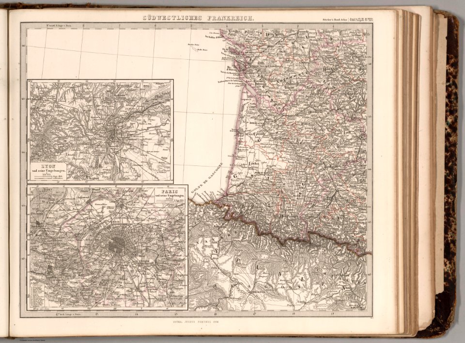
maps of paris from the david rumsey historical map collection
1854 maps
david rumsey historical map collection
german-language maps
old maps of north america
1755 mitchell map
old maps of north america
1755 mitchell map
old maps of north america
1755 mitchell map
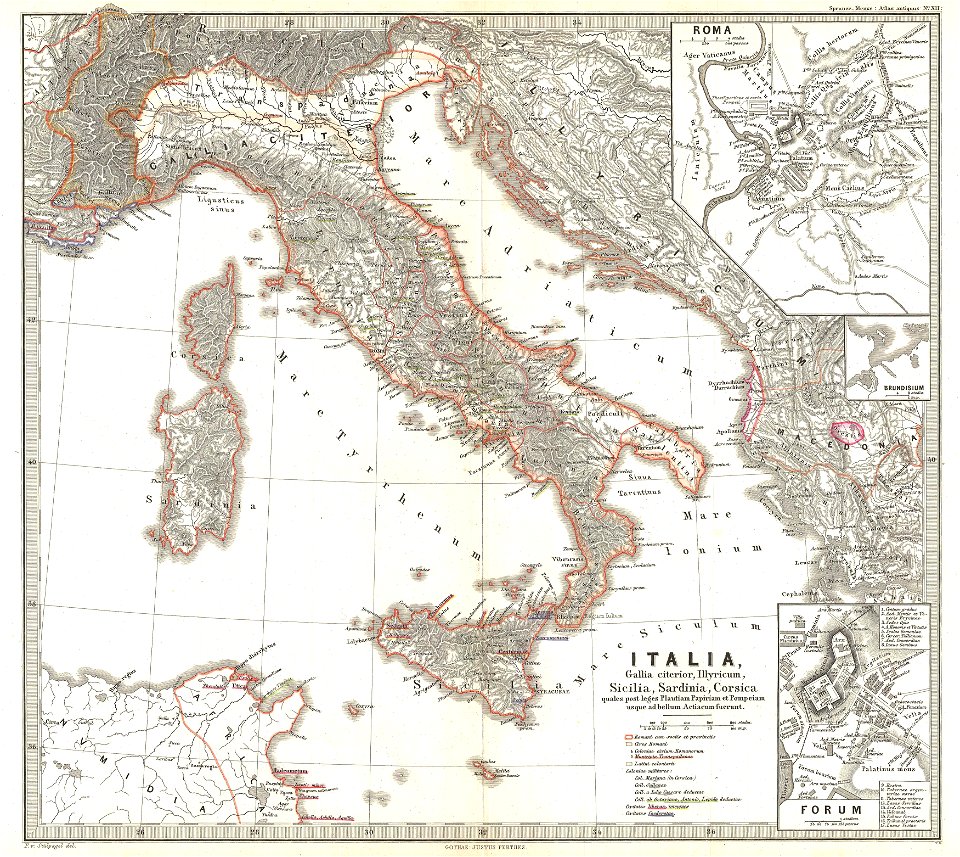
karl spruner von merz
old maps of italy
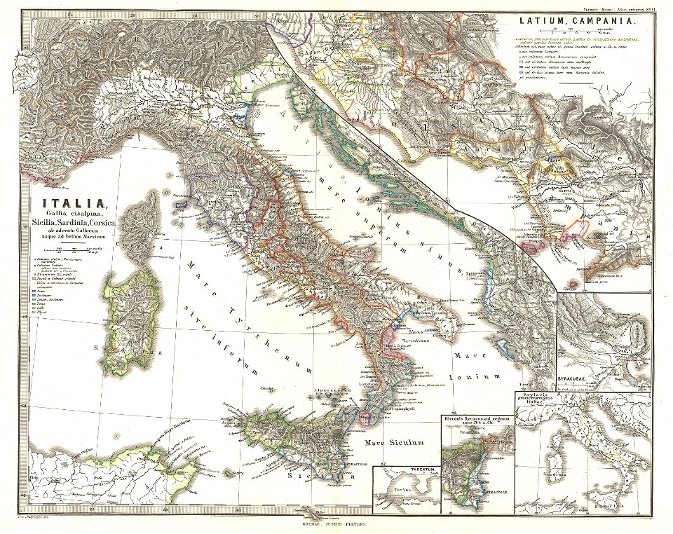
karl spruner von merz
old maps of italy
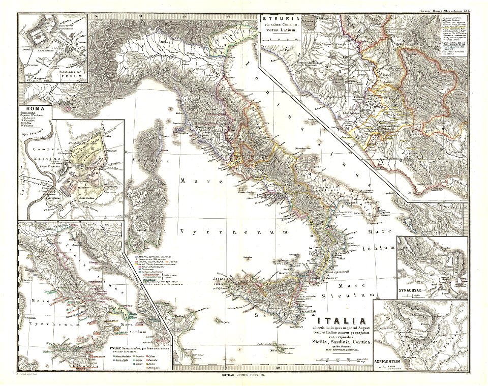
karl spruner von merz
old maps of italy
1860s maps of the united states
maps by alexandre vuillemin
ethnography of serbia
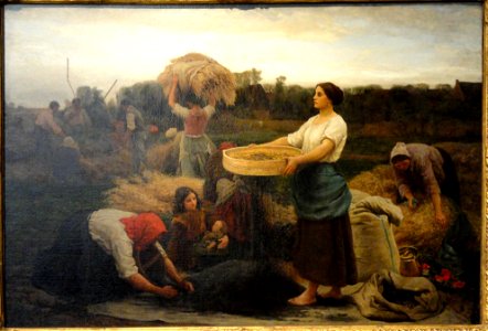
peasants in art
18th-century maps of the americas
maps by homannsche erben
david rumsey historical map collection
1866 in paris
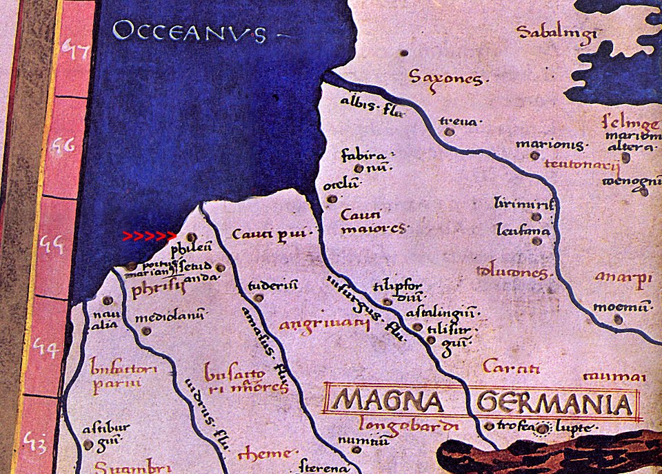
maps of germania magna
details of old maps
map images supported by wikimedia uk
1856 maps
cosmographia claudii ptolomaei alexandrini
latin-language maps
david rumsey historical map collection
joan blaeu
david rumsey historical map collection
german-language maps
david rumsey historical map collection
old maps of samegrelo
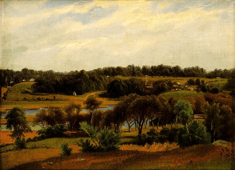
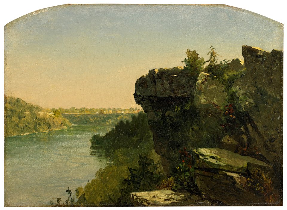
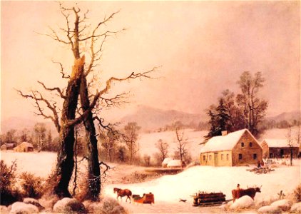
paintings by frederic edwin church
hudson river school
david rumsey historical map collection
german-language maps
david rumsey historical map collection
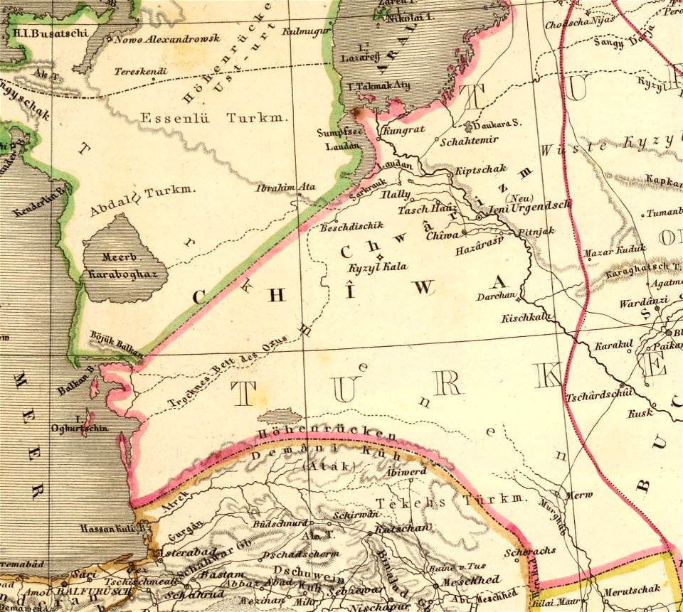
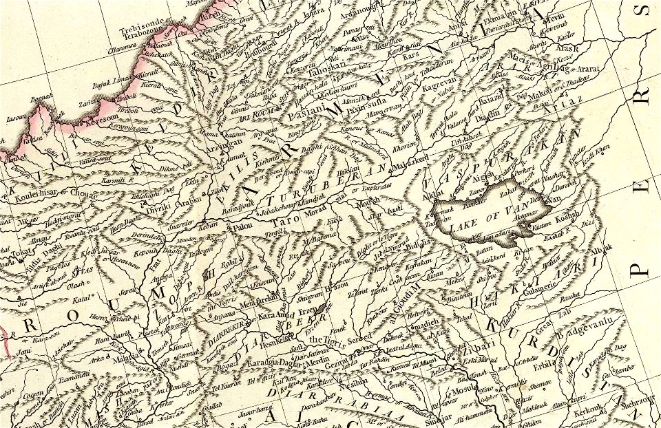
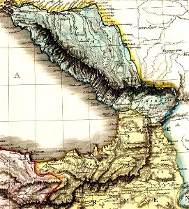
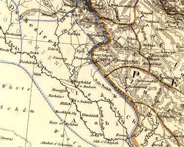
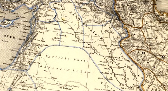
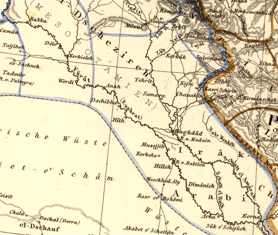
old maps of the middle east
david rumsey historical map collection
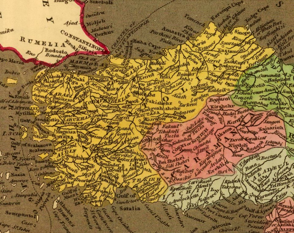
old maps of turkey
maps by willem and johannes blaeu
latin-language maps
david rumsey historical map collection
19th-century maps of the black sea
old maps of south africa
swartland
david rumsey historical map collection
german-language maps
david rumsey historical map collection
german-language maps
david rumsey historical map collection
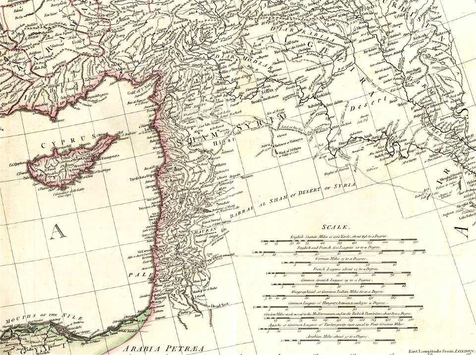
old maps of the middle east
david rumsey historical map collection
german-language maps
david rumsey historical map collection
jr
david rumsey historical map collection
jr
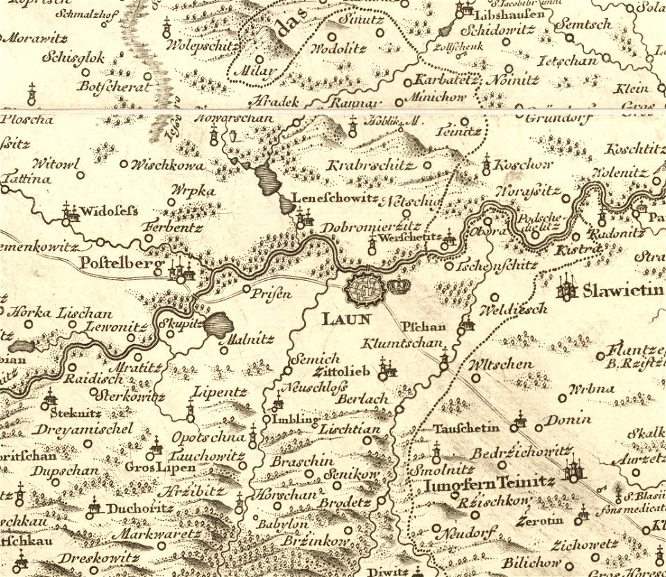
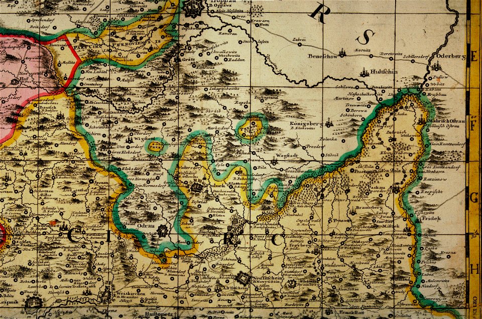
details of müller's map of bohemia
maps of louny district
cosmographia claudii ptolomaei alexandrini
latin-language maps
images from metropolitan museum of art (paris project)
photographs in the metropolitan museum of art
moonlight in paintings
clouds in art
1740s maps of the world
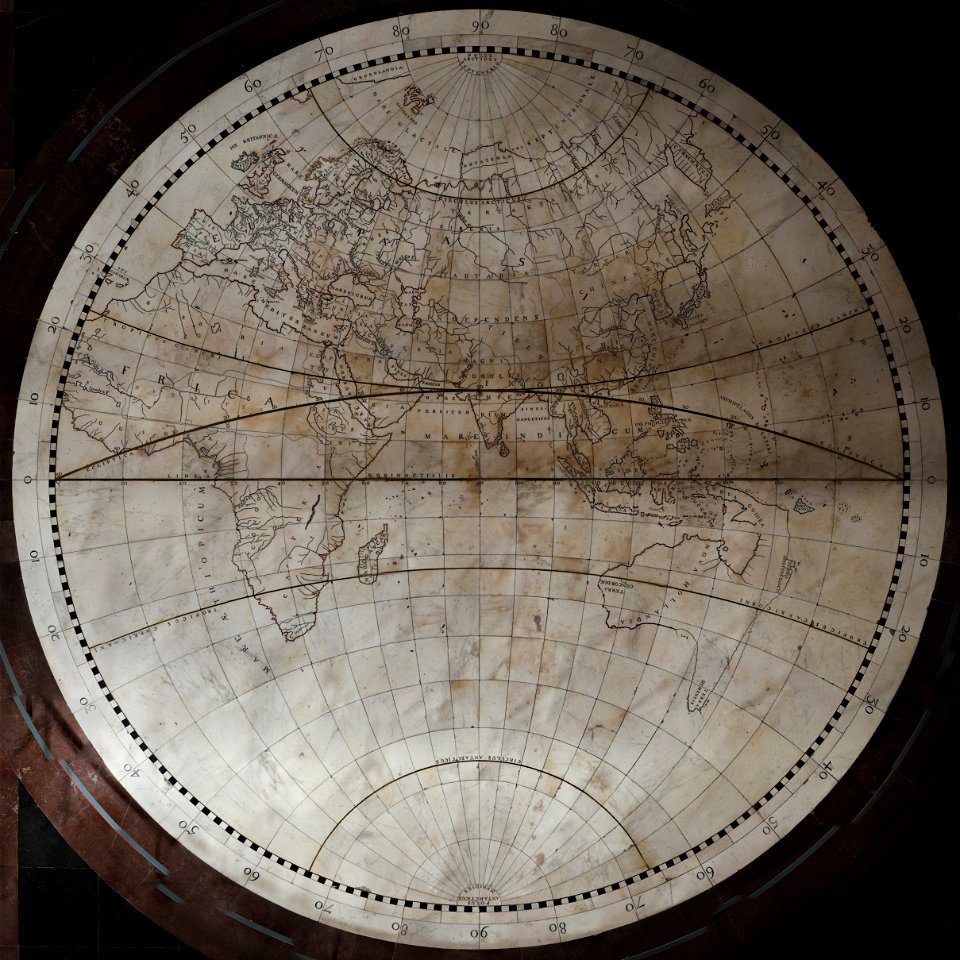
burgerzaal map
müller's map of moravia
maps of příbor
fra mauro map by sector
index maps
1861 in bretagne
1861 maps
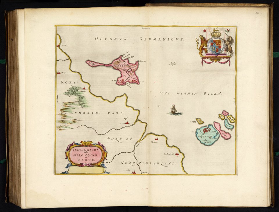
maps of paris from the david rumsey historical map collection
1873 in paris
david rumsey historical map collection
j. and p. knapton
david rumsey historical map collection
maps with cartouches
david rumsey historical map collection
j. and p. knapton
maps of the eastern mediterranean
jr
map images supported by wikimedia uk
1856 maps
paintings in the corcoran gallery of art
1860 paintings
patrimonium 2 (project)
files from polona
patrimonium 2 (project)
files from polona
patrimonium 2 (project)
files from polona
1860s landscape paintings
1860 paintings
patrimonium 2 (project)
files from polona
patrimonium 2 (project)
files from polona
lithographs by rudolf hoffmann
1860 deaths
lithographs by adolf dauthage
1860 deaths
patrimonium 2 (project)
files from polona
patrimonium 2 (project)
files from polona
patrimonium 2 (project)
files from polona
patrimonium 2 (project)
files from polona
patrimonium 2 (project)
files from polona
patrimonium 2 (project)
files from polona
patrimonium 2 (project)
files from polona
patrimonium 2 (project)
files from polona
patrimonium 2 (project)
files from polona
patrimonium 2 (project)
files from polona
patrimonium 2 (project)
files from polona
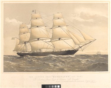
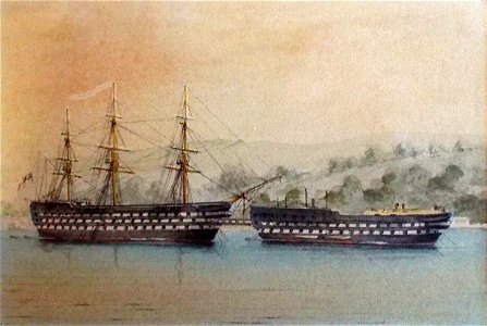
hulk
1860
lithographs by josef kriehuber
1817 births
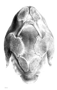
trionychidae illustrations
george henry ford
traditional costumes of ausseer land 1780-1850
drawings of people of styria
1815 births
1860 deaths
printing
1860
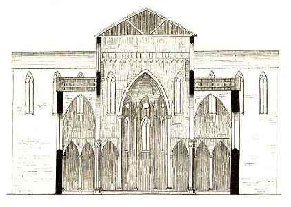
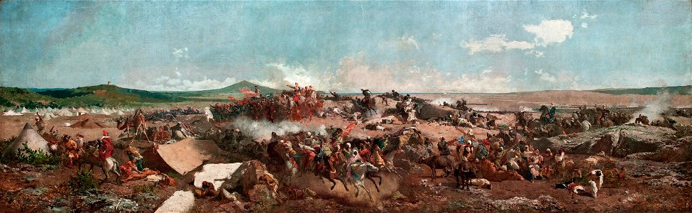
history of tétouan
tétouan
801 - 900 of 38,207
Next page
/ 383